Today started early. We were at the start of the walk (approx 50 km drive from home) by just after 7 and I took John's advice and did the first 2km with Trev before sending him on the rest of the way alone (with thousands of others) as the climb started to show. Then I backtracked to the car.
He took the camera with him and these photos are the rare result.
The temperature was cool enough to make his fingers hurt, but his legs weren't cold at all!
 |
| Ready to go |
The walk is officially 19.4 km long, but Trev's Garmin track says he did 20.75 km from start shelter to finish shelter.
We had been told it would take 6-7 hours, and he completed the walk in just under 6 1/4 hours.
By the time he got to the lakes (about midway) the sun was out and he could start to warm up.
 |
| Track shot |
 |
| The toilets along the track are camouflaged. |
 |
| Mt. Doom |
 |
| At times Trev seemed to have the track to himself , but others were really just out of sight. This was one of those "alone in the wilderness" times |
 |
| Interesting rocks along the way |
 |
| Interesting colours in the rocks |
 |
| Looks like it is smoking! |
 |
| One of the smaller lakes-amazing colour. The track down to here was a soft, crumbly, dry , slippery slope which meant you slid down it, rather than walking. It was quite steep, so possibly the trickiest part of the walk. |
 |
| Reflections |
 |
| He even took a selfie! |
 |
| Clear water. |
 |
| Beautiful colours |
 |
| Amazing distant views. |
I arrived at the pick up car park just as Trev stepped out from the walk! We headed home to make use of the spa. He seems to think that he deserves dinner after this accomplishment. I seem to agree.
While Trev was walking I took the car to the local ski village, took in the tourist info, and decided that the ankle could cope with a bit more walking. So I decided on a waterfall hike which was pretty, and gave the ankle some steps to try out.
That worked out OK, so on the way home I stopped to investigate a couple of old Maori redoubts from battles 100 years ago (another km or so) . These are basically trenches and earth walls (now grassed) that were used as battle shelters. The stream here was also amazingly clear (no doubt fed from a spring somewhere higher).
I also took a short stroll to investigate some old Maori dwellings and views over beautiful Lake Rotoaira.
I took my phone as camera, but unfortunately our purchased Internet doesn't seem to like my phone so the photos are held locked there for the moment.
I enjoyed having time to investigate the lovely tiny flowers and plants and trying out the phone as a camera, attempting to capture the many views of this amazing area. Once the phone is released I will upload some of those here as well.
Extra photos now being added...
 |
| Trev heading off alone... |
 |
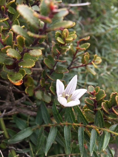
| Little white flower |
 |
| Mangeatepopo Hut |
 |
| On the path |
 |
| waterfall |
 |
| On the way to the Maori redoubt |
 |
| The smaller redoubt |
 |
| Steps and growth on the path. |


No comments:
Post a Comment