July 22 -361km
The wind was still blowing strongly as we drove back out of the lovely Parachilna Gorge and on to the highway again.
Since we had time, we took the detour to Beltana. This was a thriving little town when mining was strong and the railway passed through here. With the resiting of the railway line the town businesses closed, and now, although some people live here, it appears to be almost a ghost town, with it's buldings of old stone and old galvanized iron blended together. The remains of an old Afghan well stand outside the town reminding us of the part these people and their camels played in the opening up of the outback.
 |
| Beltana town well |
Second stop was the now quiet Leigh Creek. I was happy to see that the supermarket there was still operational (I had forgotten to pack the butter). With a hugely decreasing population , due to the closing of the coal mine, you have to wonder how long that will continue.
We made another brief detour in to Copley. Alas the famous bakery is no longer in operation.
A further 60 km up the highway we again turned off, this time into the old Farina ruins. Here we struck lucky. For eight weeks each year a team of volunteers come to this ruined town and work on conserving and restoring the old stone buildings. Amongst them, a volunteer baker,who bakes delicious goodies in the historic underground bakery for sale every day. We took advantage of this lucky coincidence, and munched as we explored the old buildings.
Another 50km up the track, we came through Marree, and were on to the Oodnadatta Track. We stopped in at the viewing area to look out over the white, salty expanse of Lake Eyre South, and to admire the little white and yellow straw flowers growing in the sandy soil after the recent rains. The track was in relatively good condition, with average speed of 80km/hr easily achievable.
 |
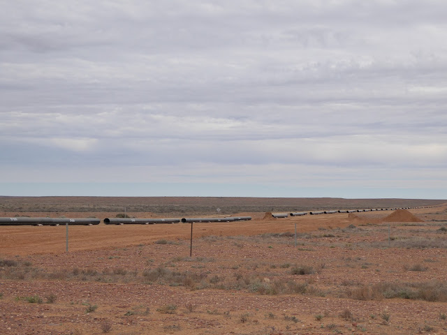
| New pipeline going in! |
Our old friends the mound springs Bubbler and Blanche Cup were next. With the wind blasting us, we climbed up to these springs, each sitting atop their mounds, formed from the minerals which are pushed up with the water from the artesian basin which stretches beneath a massive 22% of the Australian continent! These springs made living in these areas possible, and settlements grew up around them, as they were reliable water sources. Sadly, many of them are now drying up, due to the drilling of bores,which lowers the water in the basin.
These two still flow, and the sedge around them is bright green, with a whole micro population of plants and water creatures living in them, and a wonderful visiting bird population.
At last we made it to Coward Springs campsite. The higher trees (including palms) welcomed us, giving indication of the water which flows here from the man made spring, and sustains a wetland population. The water also flows into a small square spa pool, (where weary travellers can soak away their aches), and is pumped into showers heated by a wood fueled heater known as a donkey. I was hoping to see the hundreds of finches that I remembered from a past visit, but it was too windy. We could hear their tiny chirrupy sounds, but they hid pretty well out of the wind. We had a lovely sheltered spot to throw out our swags. By the time we had had a bit of a walk, our tea and a hot shower we were ready for bed, and dropped into our swags under a magnificent starry night to enjoy a better sleep.


Coward Springs. What a campsite.
ReplyDelete