Disembarking from the Spirit of Tasmania at about 6am, we
headed for one of the local hotels (The Edgewater) where we took advantage of
their special offer and found ourselves a nice breakfast along with the Lloyds.
Once that was over we said goodbye, parted ways and went to
have a look around Devonport. We
specifically had in mind the idea that we might need a campsite on our final
night in Tassie which was close to the boat location. It seems that lots of the standard overnight
stay camping sports in the area are “self contained only” which means that you
have to have a toilet and sleep in your vehicle We don’t fit this description.
We followed a number of back roads towards the East (Port
Sorell) before finding a lovely dirt road leading to a deserted seaside track
with room to pull off and put up the swags. We saved this location for future
use (should it be required) and headed on our way to see the local scenery as
we slowly headed towards Hobart.
The Garmin navigator was taking us on the back roads , which
was fine by us and we checked out Harford, Frankford, Westbury, Quamby Brook
and the Golden Valley before heading on to the main A5 road which heads down
the centre of Tassie past the Great Lake.

We stopped at our first walk for the trip when we spotted
the Pine Lake sign to our right. We had been gradually climbing on the winding
roads and here the temperature was 9 degrees (it was 18 when we left
Devonport). The cloud was drifting low over the lake and blocking off the tops
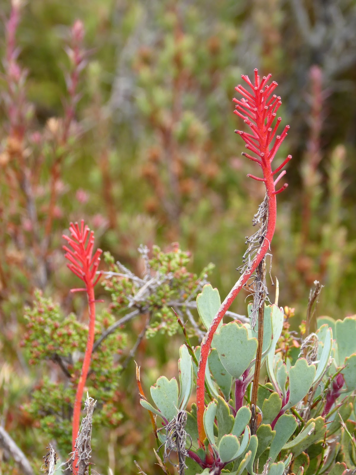
of the mountains. This walk particularly shows off the Pencil Pines which grow
in the high, snowy areas. It gives an opportunity to see them and the button
grass which is usually only seen if you walk a long way. Well made boardwalks led past rivers of rocks
and great interpretative signs. We needed our coats and beanies as we followed
the path to the lake lookout and wondered how the vegetation survives in this
weather (and worse). Sadly the camera was doing some weird stuff. Maybe dropping it in China didn't help it after all?? This first photo at least gives the impression of the lake for you, even if it looks a bit like a painting. The clouds were swirling over the lake in the chilly air, and there were some "rivers of rocks" and lovely cushion grass along with the spectacular twisted pencil pines.

 |
| cushion grass close up |

Further down the road we stopped at a lookout to check out
views over the Great Lake as we looked to the South.

We drove the length of this lake on our
drive, winding past the small groups of shacks which must be mostly used by
fishermen. Some appear to be very crude,
but almost all have large piles of wood next to the houses – a sign of the
weather that they have in these parts. This road is being slowly converted to
bitumen from gravel, and only short patches of dirt surface were still
remaining. Continuing on through Breona and Miena, we stopped soon afterwards
overlooking the lake to eat our lunch and read about an early hydro scheme in
this area.

We did a U turn to see the Steppes sculptures (just because
we could) as we drove past and spotted the sign– a small group of bronze sculptures attached to granite rocks.
Mostly these were of native animals, but also of local flora and scenes.

At Bothwell we stopped at a quirky and girly craft shop/
tearoom for a cuppa . The rest of the town appeared to be dedicated to guns and
hunting. From here we followed the midland highway to Hobart and arrived at our
airBNB at 3.30pm. The locked box gave up its key and we found our little home
for the next few days to be pleasant enough. It had tiny bedrooms and an
unusual layout, but had all we needed plus more. It’s always good to have a
known roof over the head when competing over a few days. It even had off street parking - quite a bonus.


I think our days of
camping for Easter are over, as we like to come home, clean up, and wash our
clothes (hopefully getting them dry too). A decent sleep is also an extra
bonus, with no worry about rain, wind and next door neighbours which so often
occur when camping in groups.

We specially chose this place due to its close proximity to
the event centre for the carnival (at the athletic centre), and decided to see
how close it really was and give ourselves some more exercise, by walking to
register. It turned out to be quite a climb up to the top of the domain and the
athletics centre, but we found our way there (one of the steepest streets I
have walked on) and on the way we saw others out running on the warm up map,
using permanent controls in the area.
Registration was uneventful.
We received a paper bag each with our chest numbers and pins. Trevor had our parking pass ($10 for the 3
days of rural parking) and the printed programme in his as well. One programme
per family (unless you missed out, which we know happened for some). Barry Wheeler arrived as we were
leaving. It was good to catch up with him.
We dropped off our registration gear “at home” and headed in
the opposite direction (again on foot) a few blocks to Elizabeth street, where we checked out
the local eateries with a view to getting the SA contingent together at some
stage. Many were not open on Good Friday, so we cooked a plan to get together
on Saturday night. A lot of the eating places were only small, so we thought
the most likely spot was one of the pubs (The Republic). We bought some
excellent takeaway Indian food for our tea and carried it back to our humble
abode happily, watching TV while we ate!! (It seems to be a long time since we
have done that much). A bottle of Church Block helped us to feel all settled
in.
No comments:
Post a Comment